Given the growing number of houses in the Philippines across a range of real estate properties, it is unsurprising that several major roads or expressways are frequently jammed with motorists who are either on their way home after a productive day at work or who are doing their best to steer away from the route they usually take to reduce travel time and avoid traffic.
For so many years, traffic congestion on the country’s most crowded roadways has been an enormous problem, which is why the government continues constructing new roads in an effort to alleviate the situation. Fortunately, the Metro Manila Skyway is one of the expressways that has been constructed and successfully fulfills its intended purpose up to this day.
Metro Manila Skyway
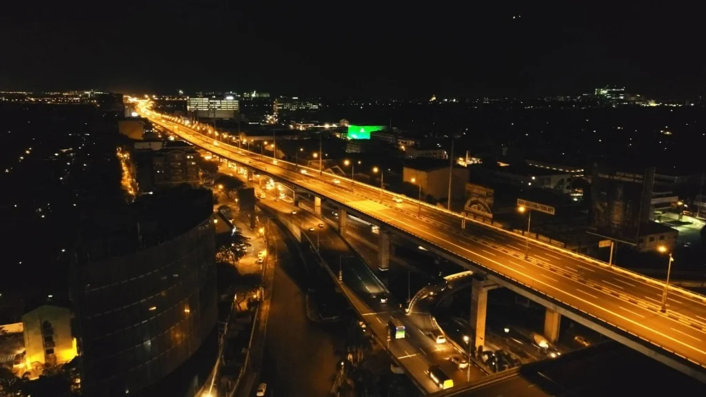
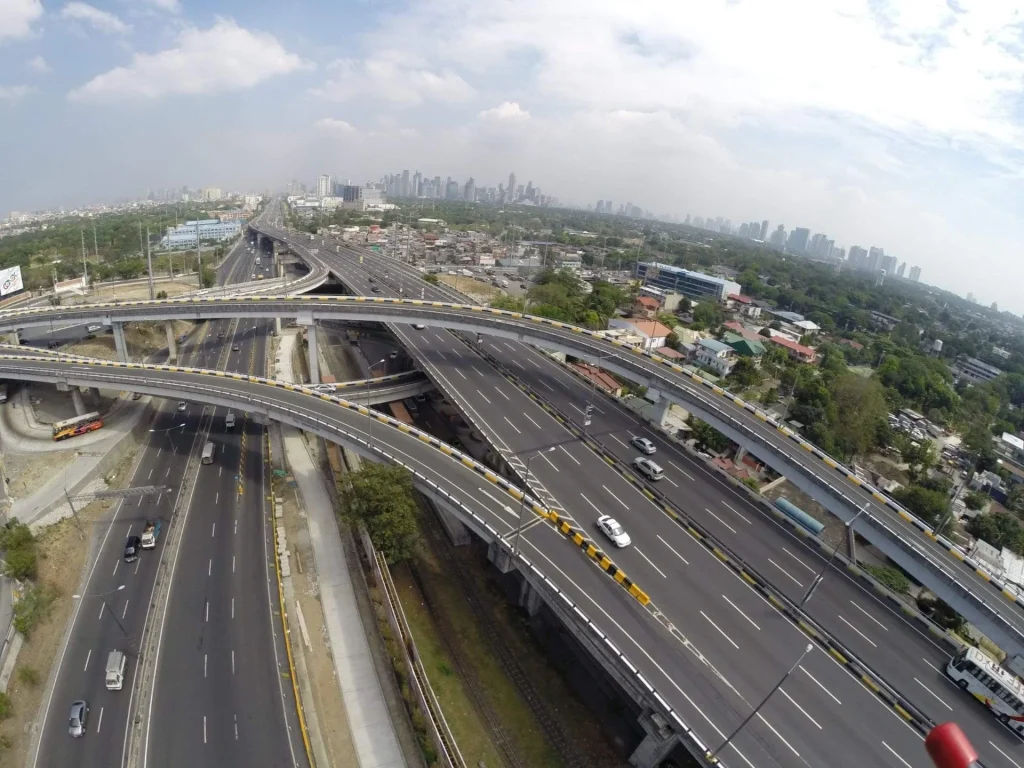
The Skyway sometimes referred to as the Metro Manila Skyway System, is a network of elevated highways that runs through Metro Manila and acts as its primary expressway.
The Skyway also holds the title of being the Philippines’ first completely grade-separated freeway — with a total length of nearly 42.79 kilometers and additional plans to extend the roadway, it is also a contender to be one of the longest flyovers in the world.
Additionally, the elevated expressway crosses over existing highways to create an even closer link between the South Luzon Expressway (SLEX) and the North Luzon Expressway (NLEX), which are two major highways in Metro Manila. The Skyway extends from the Susana Heights zone in the south to the Balintawak/Quezon City area in the north.

History of Metro Manila Skyway
Metro Manila Skyway Stage 1 (MMSS1)
Stage 1, also known as MMSS1, is the first phase of the elevated highway that stretches along a section of the SLEX from Magallanes to Alabang. Originally, the road’s construction began in April 1995, and it only partially opened to traffic in October 1999. In the near future, it is expected that the route that leads to Makati and the Ninoy Aquino International Airport (NAIA) interchange will have more exits.
Metro Manila Skyway Stage 2 (MMSS2)
After Stage 1 was finished, plans were made to expand the elevated route all the way to the Sucat-Bicutan region. In 2019, Stage 2 construction started, and by 2010, 52% of the road had been built. The road had been completed and accessible to the public by December of the same year.
Furthermore, the Alabang Toll Plaza was added to Skyway Stage 2 in 2011, extending it even further and enabling it to reach the southernmost economic districts. Additionally, Stage 2 was extended in 2020 by including Susana Heights, reducing traffic in the SLEX region of Alabang.
Metro Manila Skyway Stage 3 (MMSS3)
Another road extension project, Skyway Stage 3, aimed to shorten the distance between the north and south as well as to provide a more direct route for motorists going from NLEX to SLEX.
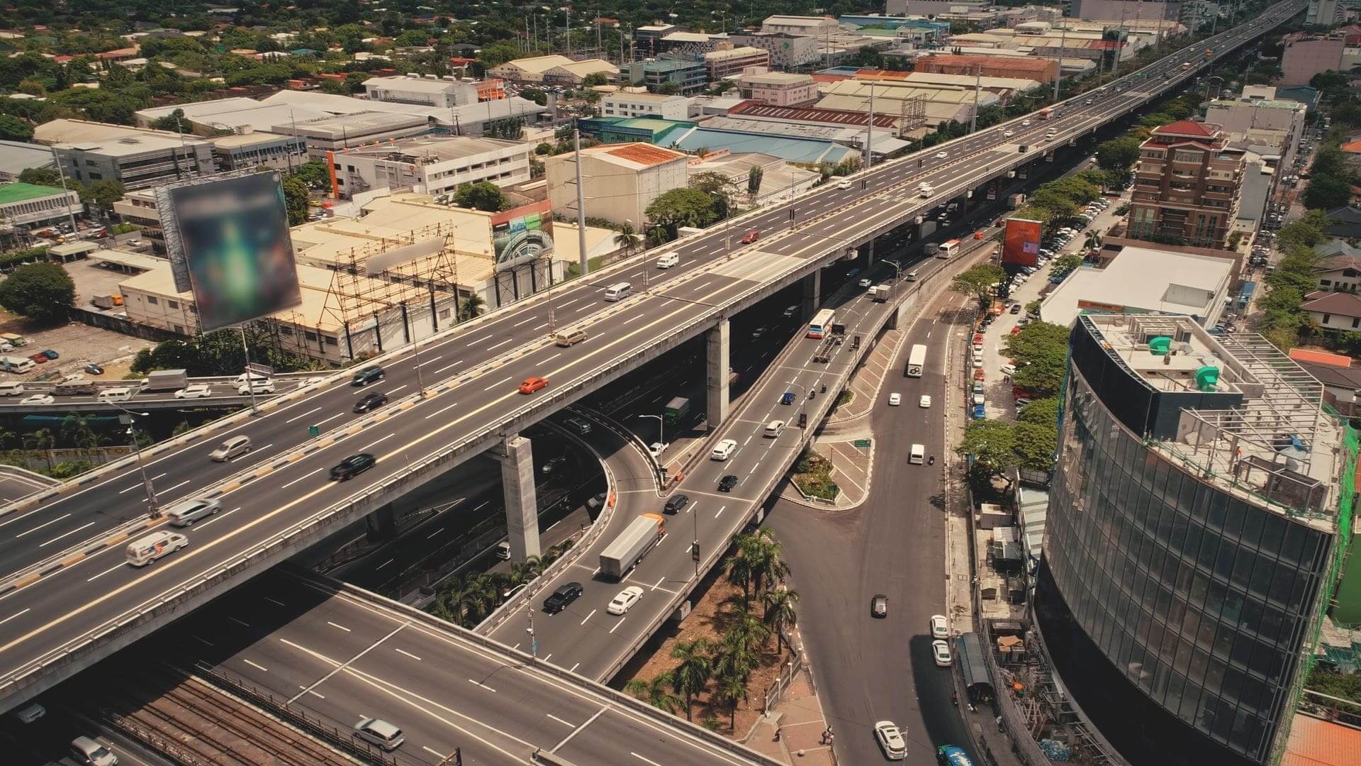
When the new stretch of road was made available to the public in 2020, it helped ease congestion on other major thoroughfares in Metro Manila because drivers now had a different option for driving from north to south.
Given that many people had hoped to significantly reduce travel times both inside and outside the Metro, home developers also used these projects as one of their critical benefits for home buyers and OFWs who are highly interested in looking for and purchasing houses in the Philippines.

Photo from wheels.com.ph
Project
According to Road Traffic Technology, stage one includes building a six-lane expressway from Buendia to Bicutan as well as renovating a 13.5km part of the Magallanes-Alabang road. The six-lane, 10-kilometer elevated roadway, known as the Metro Manila Skyway System, runs from Buendia to Bicutan.
Furthermore, the 9.5km toll road from Makati to Bicutan was extended in stage two by a 6.88km expressway that runs from Bicutan to Alabang. The San Martin de Porres Temporary Exit Ramp is where the development project initially started. The Skyway passes through Muntinlupa City during Stage 2.
Check Out Our Other House and Lot Properties in the South!
The third stage of construction entails building a 13.24 km connector road, 10.54 km of which would cross the Philippine National Railway tracks directly, and 2.7 km of which will cross the Osmeña Highway. The missing section between Buendia and Balintawak will be connected during development.
Segment 10 will be built via the cities of Caloocan and Valenzuela, and it will be connected to the road in the north, as per the Road Traffic Technology. Four entry and departure sites for the connecting road are planned: C-3 Road in Caloocan, Buendia in Makati and España, and Quirino Avenue in Manila.
The development is anticipated to draw more investment to the Manila region’s southern region, one of which is numerous houses in the Philippines. On top of that, it will facilitate trade and the distribution of products and services in Southern Luzon and Metro Manila.
Toll Regulatory Board
A toll is a fee paid in exchange for the right to travel on a road, cross a bridge, or any other barrier. It is a crucial part of a nation’s funding structure for transportation. This is due to the fact that roads are never fully free.
Highways are not and never have been, free. Even if the government provided all of the funding for its construction or it was the result of a public-private partnership, maintaining these massive infrastructures requires keeping the roads in good condition and making sure that the users have access to traffic, emergency, and roadside assistance services.
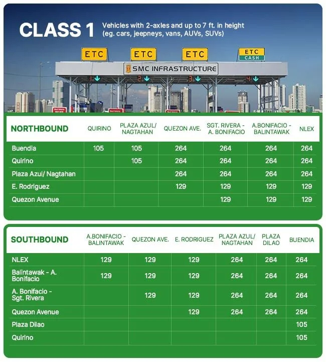
2023 Metro Manila Skyway System Toll Fees

Photo from autodeal.com.ph
Speed Limits
The Skyway has different speed limits depending on the section of the Skyway you are traveling on. The average speed limitation from Stage 1 to Stage 2, or from Magallanes to Bicutan, is 80 km/h. On the other hand, the maximum speed on Skyway Stage 3 between Balintawak and Makati is 60 km/h.


